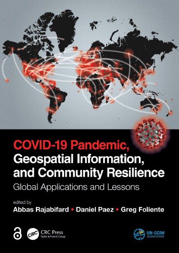
COVID-19 open access book

The Centre for Spatial Data Infrastructures and Land Administration (CSDILA) has just launched their latest publication, entitled COVID-19 Pandemic, Geospatial Information, and Community Resilience: Global Applications and Lessons, published by CRC Pres (T&F) Elsevier.
Geospatial information plays an important role in managing location dependent pandemic situations across different communities and domains. Geospatial information and technologies are particularly critical to strengthening urban and rural resilience, where economic, agricultural, and various social sectors all intersect. Examining the United Nations’ SDGs from a geospatial lens will ensure that the challenges are addressed for all populations in different locations. This book, with worldwide contributions focused on COVID-19 pandemic, provides interdisciplinary analysis and multi-sectoral expertise on the use of geospatial information and location intelligence to support community resilience and authorities to manage pandemics.
Edited by Professor Abbas Rajabifard, Dr Daniel Paez, and Professor Greg Foliente, this book provides interdisciplinary analysis and multi-sectoral expertise on the use of geospatial information to support community resilience and authorities to manage pandemics.
They have worked with leading authorities with diverse academic and professional backgrounds, who examined and discussed the role of geospatial information and location intelligence in managing the pandemic and sharing strategic approaches in more than 35 countries.
This is an open access text and it can be freely downloaded as an e-book:
COVID-19 Pandemic, Geospatial Information, and Community Resilience