Monitoring crop growth from the skies above
Aerial hyperspectral imaging and modelling techniques are being developed to help growers better evaluate stress on their crops. This methodology used by the HyperSens Remote Sensing Laboratory aims to improve crop productivity (leading to higher yields) and the efficient use of crop inputs, resulting in benefits for the environment and improving profitability.
Aerial hyperspectral imaging and modelling techniques are being developed to help growers better evaluate stress on their crops
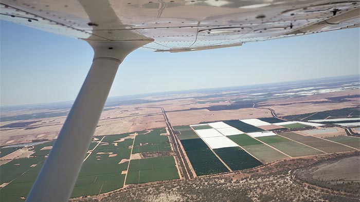
Professor Pablo Zarco-Tejada from the University of Melbourne is leading a team of researchers, bringing together expertise from Melbourne School of Engineering (MSE) and the Faculty of Veterinary and Agricultural Sciences. In February this year a light manned aircraft was used to gather images and create effective stress maps for a large almond orchard in the Mallee region. A larger-scale project is now in development with the Almond Board of Australia to expand this research.
While previously drones have been used to establish hyperspectral images and modelling techniques, their operational capacity limits them to smaller scale projects. Small scale drone examples include the development of a disease database for tomato crops, and water stress signatures in stone fruit crops.
Professor Zarco-Tejada says the enhanced airborne facility established at the University has made it possible to scale up the research over larger areas to include broadacre crops. His plane is fitted with thermal and hyperspectral camera equipment to capture images at a fine-scale resolution, identifying stress factors such as water and nutrient deficiencies in individual plants or at scale. The facility is operated by the Research Fellow Dr Tomas Poblete, who is in charge of camera installation and operation of the instruments on board the aircraft.
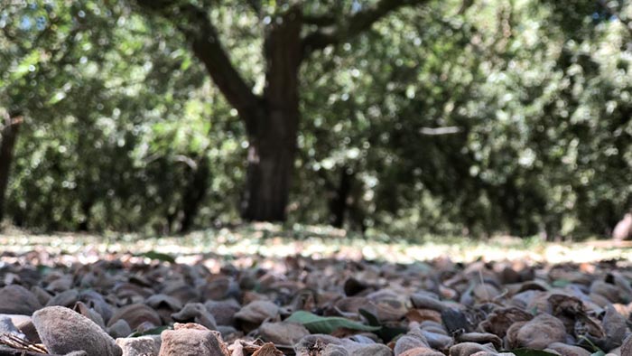
The trial mapped a 1000-hectare Victorian almond orchard
The trial mapped a 1000-hectare Victorian almond orchard, providing the grower with detailed stress maps within 24 hours of the imaging flight leaving the ground. MSE PhD student Anne Wang and Research Fellow Dr Lola Suarez led the ground work, gathering data about leaf pigment, soil and vegetation reflectance based on temperatures from the field.
Combining the airborne imagery with the ground measurements has quantified stress levels for every tree in the orchard. The resulting maps show chlorophyll and nitrogen levels from the hyperspectral images, as well as water stress from thermal imagery.
Professor Zarco-Tejada says the maps allow the grower to see the variability in the stress indicators across the whole orchard and to understand why yield losses are occurring in some areas.
“This new method of mapping better allows the grower to consider variable applications of water and/or nutrients to better account for different soils across the orchard and the needs of trees, given varying ages, dimensions and vigour”.
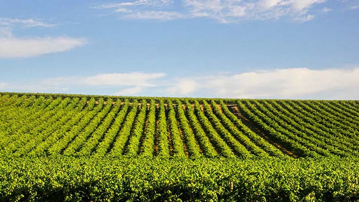
Professor Zarco-Tejada hopes the team's efforts will expand to include citrus orchards and vineyards in the future
When matched with tree-by-tree yield data from the grower, the research team can quantify the effects of the mapped stressors on crop yields. This information allows the grower to make cost-benefit analysis of variable water and nutrient applications.
This research is part of a network of projects receiving funding from the Mallee Regional Innovation Centre (MRIC) in Mildura. MRIC is an applied research collaboration bringing together local business, the University of Melbourne, LaTrobe University and SuniTAFE.
Reflecting on the potential of the project, Professor Zarco-Tejada mused that he hopes to expand his team’s work to include citrus orchards, and possibly vineyards as well. We’ll drink to that!
For more information or to collaborate on the research, contact Professor Pablo Zarco-Tejada at pablo.zarco@unimelb.edu.au
Related topics