Built environment Digital Twins and simulation
Developing spatially enabled digital twin solutions to improve decision-making.
Our advanced digital technologies and solutions streamline the planning, design, engineering and construction of infrastructure materials and projects to increase efficiency and reduce time and cost.
Our Building Information Modelling (BIM) technology allows specialists from disciplines such as architecture, construction and engineering to collaborate across a common digital platform. Incorporating 3D modelling and virtual reality, BIM can halve the time spent on the design process while improving communications and workflow across an entire project.
We use artificial intelligence (AI) and machine learning to organise large amounts of data coming into the BIM platform and optimise its useability.
Our digital twin and simulation capabilities help advance other critical infrastructure components, such as the creation of digital prototypes for manufacturing prefabricated materials off-site.
Areas of focus
- Modernisation of urban land administration systems and digital cadastre (2D and 3D)
- Modernisation of digital land and building data in the context of a Smart City
- Application of Spatial Data Infrastructure (SDI) to enhance digital engineering capabilities
- Supporting the multi-user interactions with digital models of cities and buildings
- Urban analytics to support future planning and advancement of cities
- Development of digital twins
- Integration of Sustainable Development Goals (SDGs) into infrastructure engineering
Capabilities
- Design and development of Digital Twin platforms
- 3D Cadastre visualisations of buildings and precincts, using BIM tools for digital planning
- BIM workflow for designing prefabricated buildings and infrastructure
- Integrated digital and physical building models
- Improved business workflow and data processes to support multi-source spatial data collection and integration
- Spatial data analytics, including modelling, forecasting, simulation and visualisation
- Urban environment simulation including real-time and open data integration and scenario-based planning
Collaborators
- Arup
- City of Melbourne
- Department of Environment, Land, Water and Planning – Land Use Victoria
- Government of Victoria
- ICSM
- Land Equity International
- Spatial Vision
- World Bank
Key contact
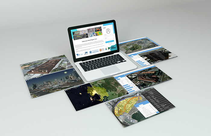
Harnessing digital capabilities at Fishermans Bend for sustainable urban planning
Developing 3D modelling of physical assets, including precise location, design and condition, to enable better decision-making about how to manage current infrastructure and what to build in the future.