Understanding local impacts of climate change
Horticulture industries in the Mallee will be armed with new information to help them effectively adapt to and capitalise on future climatic changes through a Victoria Drought Resilience Adoption and Innovation Hub project.
A team of researchers, co-led by Associate Professor Robert Faggian from Deakin University and Professor Ruth Nettle from the University of Melbourne, will develop models to predict the impacts of climate change on almond, citrus and table grape crops.
Their work in the region will be supported by the Mallee Regional Innovation Centre.
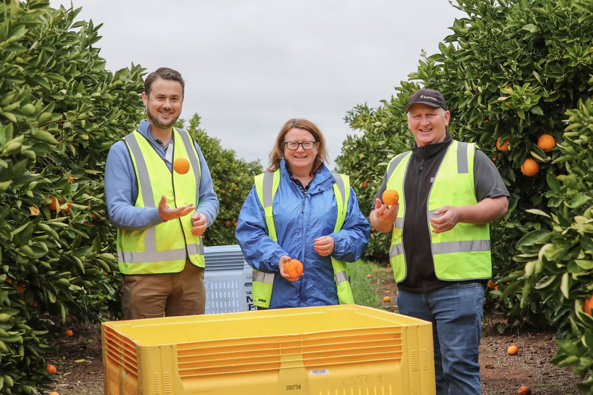
Jim Castles from Sensand Technology, Professor Ruth Nettle from the University of Melbourne, and Nick Moore from SuniTAFE
Robert and Ruth said their approach would rely on input and guidance from growers and other local experts to ensure the models reflect their experience.
“Growers across the region are already innovating in response to climate change, so it’s important that we build the models using their knowledge,” Ruth said.
Working with growers also means we can generate a good model really quickly. In the context of climate change, we don’t have years – we want industries to have the information at their disposal now so they can make informed decisions.
The research team will also work with growers to explore how challenges faced by the region in adapting to climate change could influence whether potentially useful adaption options are feasible and can be supported in the region.
Robert said the information would be made available publicly, including maps of the region showing changes in agricultural land suitability due to climate change.
“We’re modelling across the full region for the first time, although we have deployed it in most other parts of Victoria,” he said.
“The maps show how one commodity might be great now, but as we move into the future it might struggle. You can see where you can get good yields and where the yield starts to drop off.
“This becomes one of many pieces of information a grower would use to make changes to their production systems.
If all goes well and growers are happy with the outputs, then we will move on to some other crops.
To see an example of a completed mapping system, see the Southern Grampians Shire Council’s Land Use Project. At the top of the Greater Hamilton homepage, you can also watch a video on how to use the interactive map.