GeoCity
3D visualisation and analytics platform
Find out about our strategic and major research projects
This project aimed to investigate how visualisation and analytics platforms and technologies could support different use cases such as urban planning, disaster management, 3D cadastres and land administration, urban simulation, and digital twin. GeoCity is expected to generate new and better methods of visualising 3D data in a flexible way by utilising many different visualisation methods. In addition, GeoCity supports a wide variety of input formats ranging from 3D models, IoT data, XML formats and BIM models.
The GeoCity platform includes a large number of features and technologies to facilitate the visualisation of 3D models. The GeoCity platform features include:
- 3D Visualisation: Optimised 3D visualisation of city and spatial data
- Automated data processing: GeoCity allows for the input of a wide variety of data formats, and automates their processing
- LOD View: Visualise different levels of detail for objects
- Interactive enquiries: Interaction with 3D objects to identify and display their attributes
- Indoor visualisation: View the inside of buildings, providing information at a room level
- Line of sight: Query blocking objects in the line of sight between two positions
- Shadow analysis: Accurate shadow analysis of buildings onto their surrounding environment
- Planning: Users can test new building arrangements and study the effect on surrounding areas
- Offline visualisation
- Attribute classification
- Spatial query (eg, Building height) Query attributes (eg, Building type)
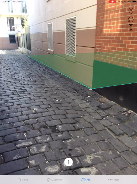
- Augmented Reality: Overlay spatial data onto the real world
- Virtual Reality: Enter a virtual space to help visualise invisible
- Multiplatform support: Android, iOS, web