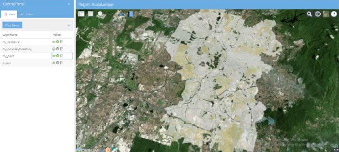
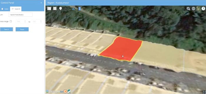
Malaysian 3D Cadastre
Find out about our strategic and major research projects
2017-2018
About the project
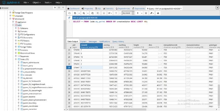
This project aimed to develop and implement a prototype 3D cadastral system for Malaysia. In developing the prototype system, the project generated new knowledge in upgrading the current 2D digital cadastral database to a 3D one and how the current workflows and associated data could be modified to support the realisation of the 3D cadastral system.
The third dimension of height is a critical piece of data in many government businesses, including infrastructure development, urban planning, public safety, and many more. Some government activities in Malaysia already benefited from the use of 3D data, and its potential was well acknowledged in Malaysia’s government agencies. However, unless a country-wide systematic approach was adopted, the full potential of 3D data would not be realised.
The main outcome of the project was that the workflow of field surveying could be modified without significant overhead. The integration of vertical data with existing horizontal data required careful consideration due to the varying degrees of uncertainty that resulted from different methods of data collection.
Upgrading the cadastral system from a 2D (horizontal) data-based system to a 3D data-based system laid the groundwork for Malaysia to become one of the first nations in the world to establish a 3D spatial data infrastructure system
Research team
Prof Abbas Rajabifard
Assoc Prof Mohsen Kalantari
Mr Yip Kit Meng
Dr Behnam Atazadeh
Dr Benny (Yiqun) Chen
Mohsen Rahimipour Anaraki
Dr Muyiwa Agunbiade
Dr Milad Ramezani
Industry partners and collaborating organisations
Department of Survey and Mapping, Kuala Lumpur/Putrajaya State
Department of Survey and Mapping Malaysia (JUPEM), Ministry of Natural Resources and Environment
ENVIRO Land Services, Malaysia
Publications
Rajabifard A, Agunbiade M., Kalantari M., Km Y., Atazadeh B., Badiee F., Mond Noor I., Lim Ch., Kamali M., Aien A., Olfat H., Shojaei D., and Rahimipour M. (2018) An LADM-based approach to developing and implementing national 3D cadastre: A case study of Malaysia, Land Administration Domain Model (LADM) Workshop, Zagreb, Croatia, 12–13 April 2018