Improving agricultural productivity through the use of advanced sensing technologies.
We use very-high resolution drone- and airborne-based imaging and satellite data to map the status of crop health, water use efficiency, disease and other sources of stress. Our solutions can be tailored to specific crops and locations.
Combined with remote control of monitoring and water delivery systems, we provide tools that give growers more control over their farm operations to increase productivity and profitability.
Capabilities
- Airborne multispectral, hyperspectral and thermal mapping of crop health and abiotic stress
- Satellite remote sensing of soil moisture and plant water use efficiency
- Integration of modelling and observations to optimise crop water use predictions
- Seasonal forecasting of soil water and crop yield
- Advanced sensor and remote-control system design
- Local and regional remotely controlled smart irrigation systems
Key contact
Professor Pablo J. Zarco-Tejada
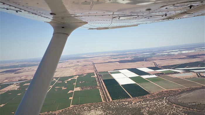
Monitoring crop growth from the skies above
Aerial hyperspectral imaging and modelling techniques are being developed to help growers better evaluate stress on their crops.
Irrigation network automation improves efficiency and water productivity
Several large-scale gravity-fed irrigation networks are now delivering water to farms more efficiently, leading to improved productivity of limited water resources.
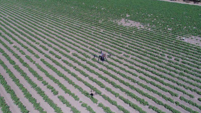

Remote drone surveillance maps horticulture crop health
Drones carrying high-resolution multi-spectral, hyper-spectral and thermal cameras are being used to develop monitoring systems to help growers assess the health of their crops.